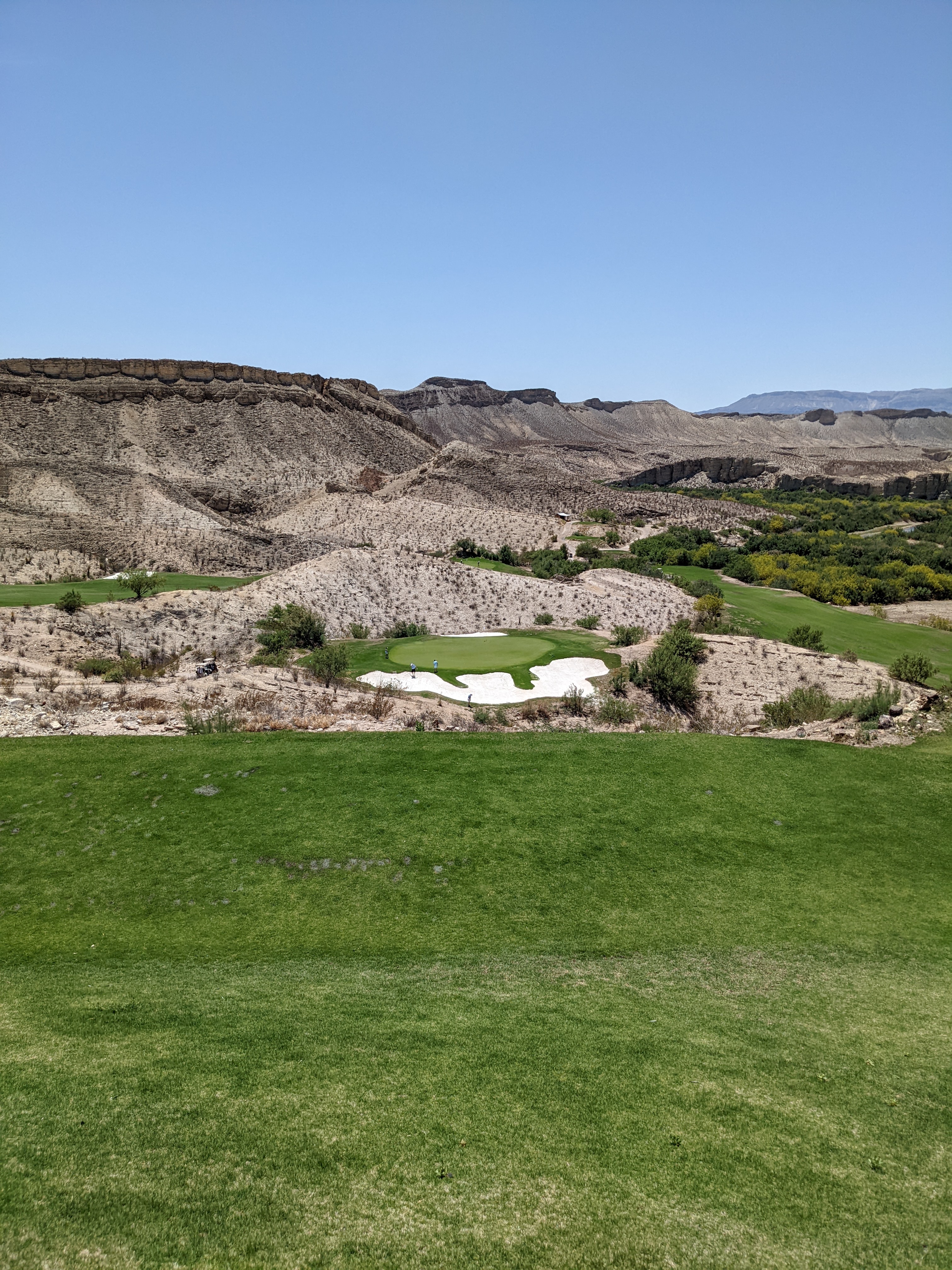
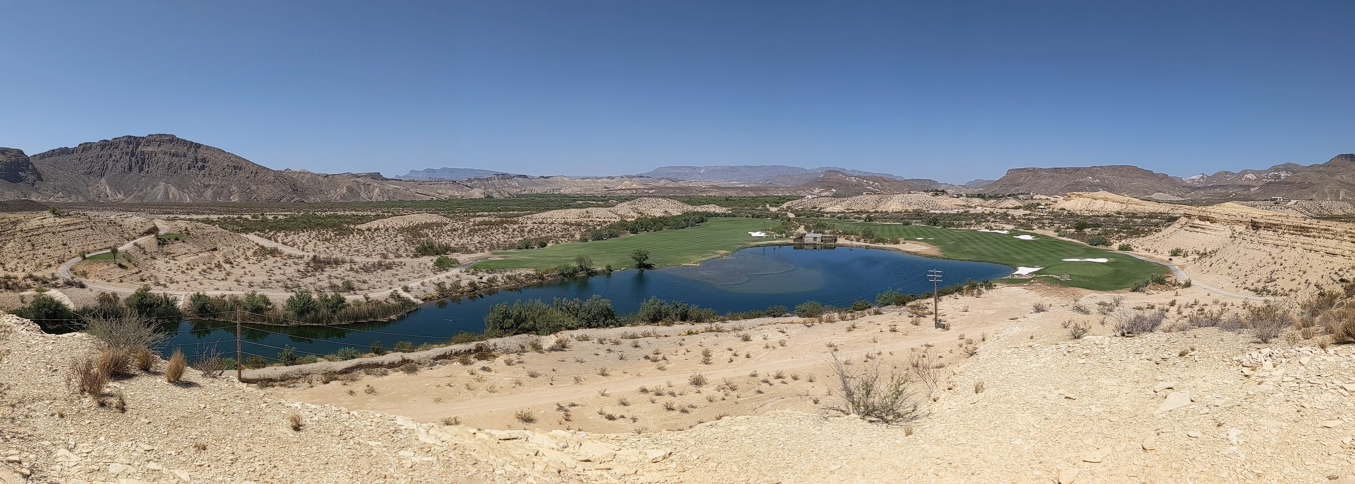
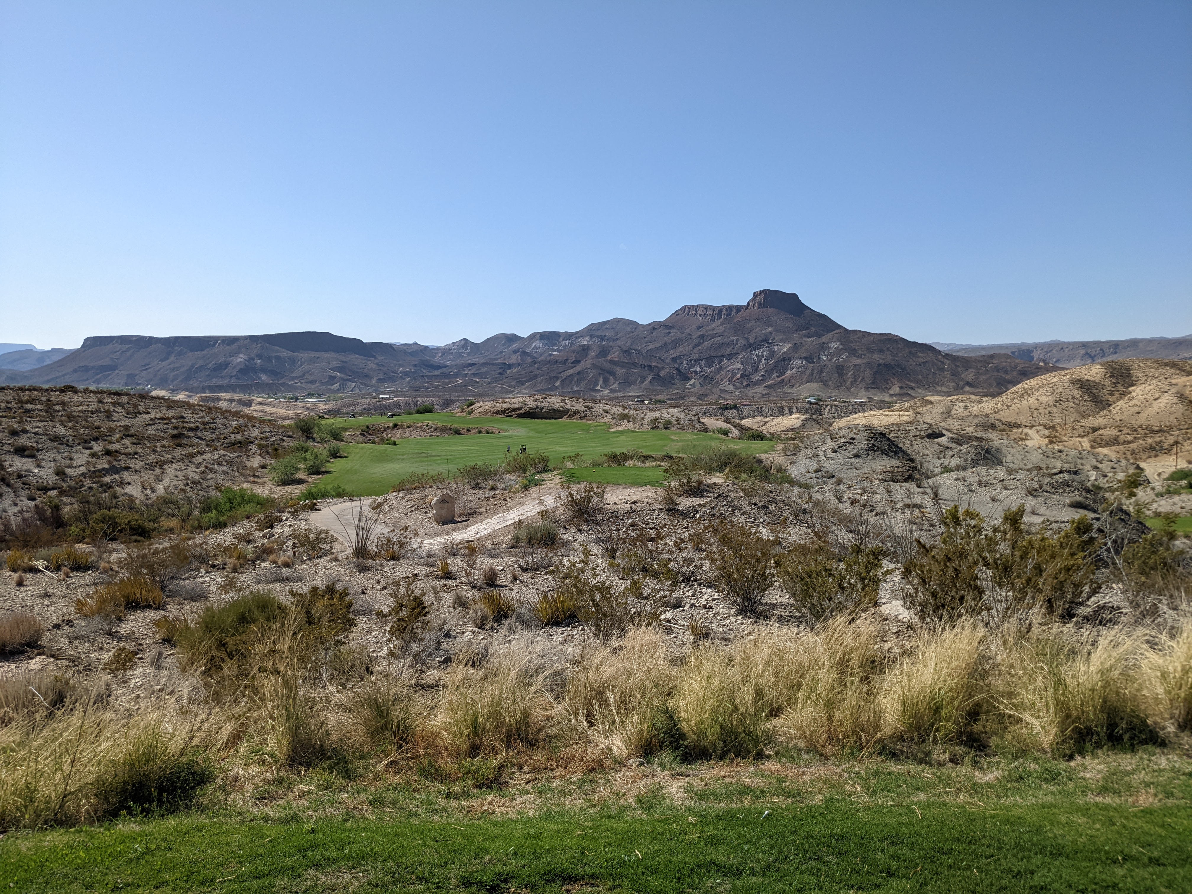
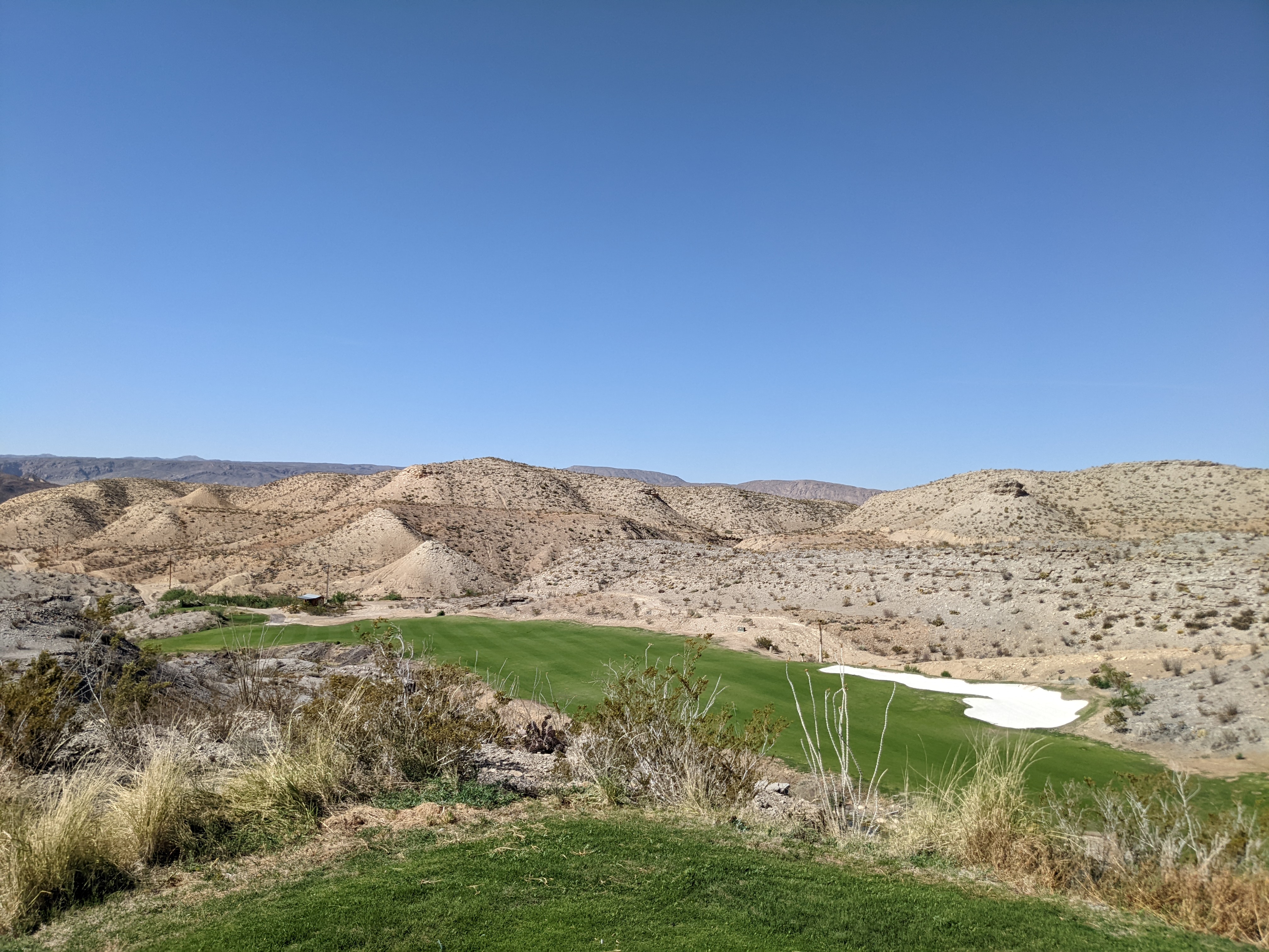
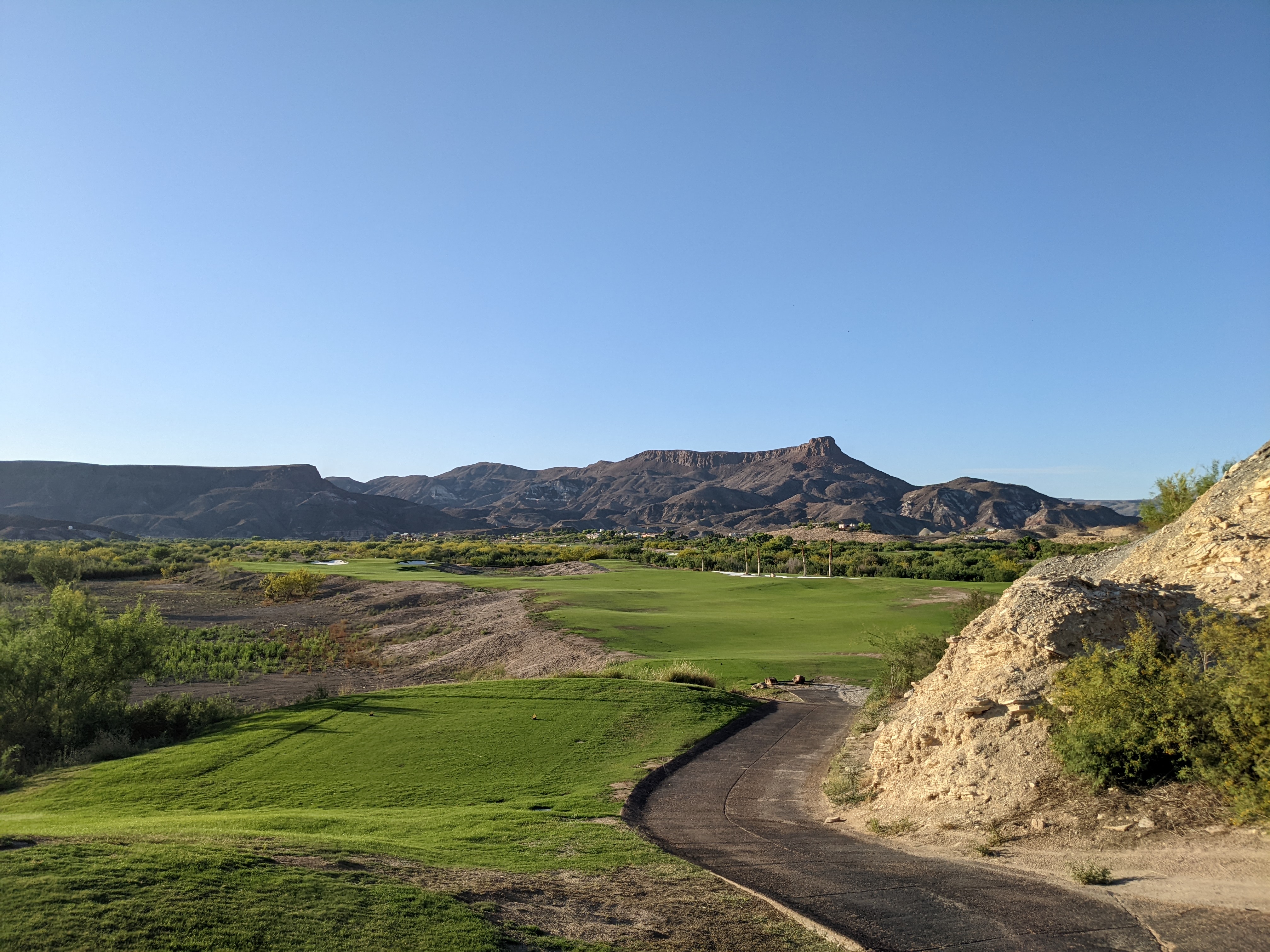
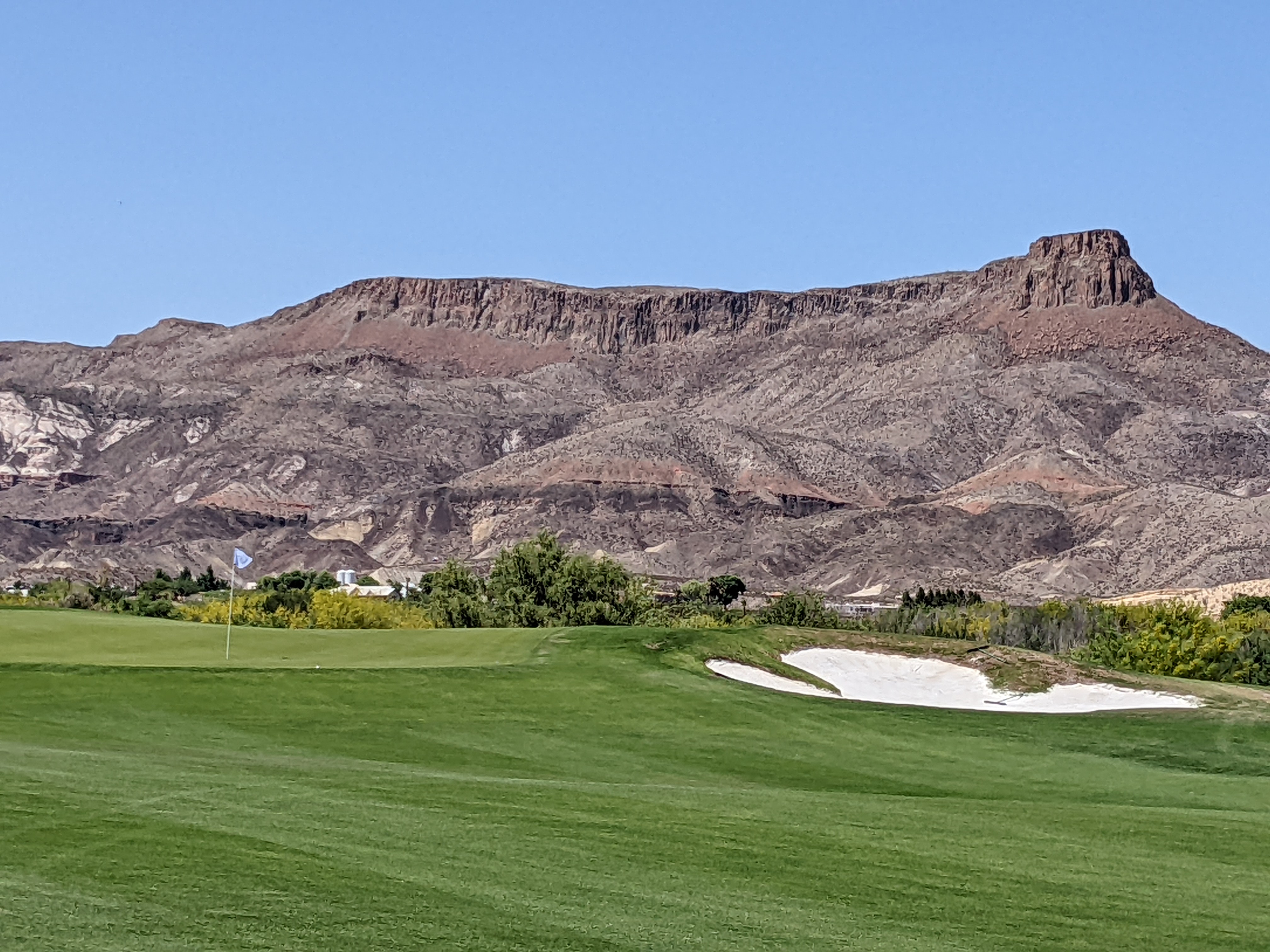
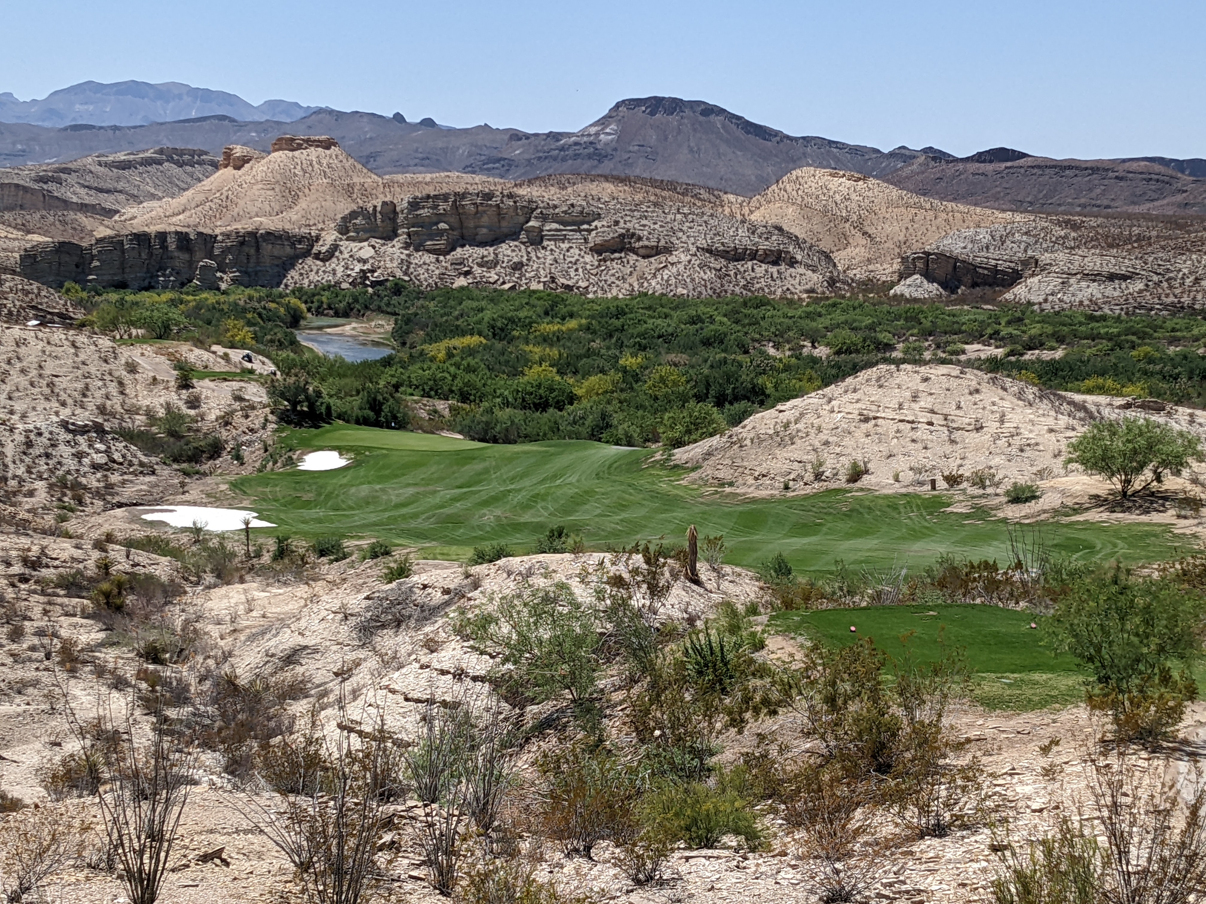
Day three was our first day on a golf course during the trip so far and the views from our room had us excited to see what the rest of Black Jack's Crossing had in store for us. The views from the driving range alone gave us perspective that we were in for a really special round of golf.
We got ready and checked in for an 11am tee time with Matt from Dallas, the course's head professional. He told us the front nine goes straight out into the canyon with some really amazing views, but save our photography skills for the back nine. He also recommended that we drive up to the back tee boxes on holes 13, 14 and 15 to see the views.
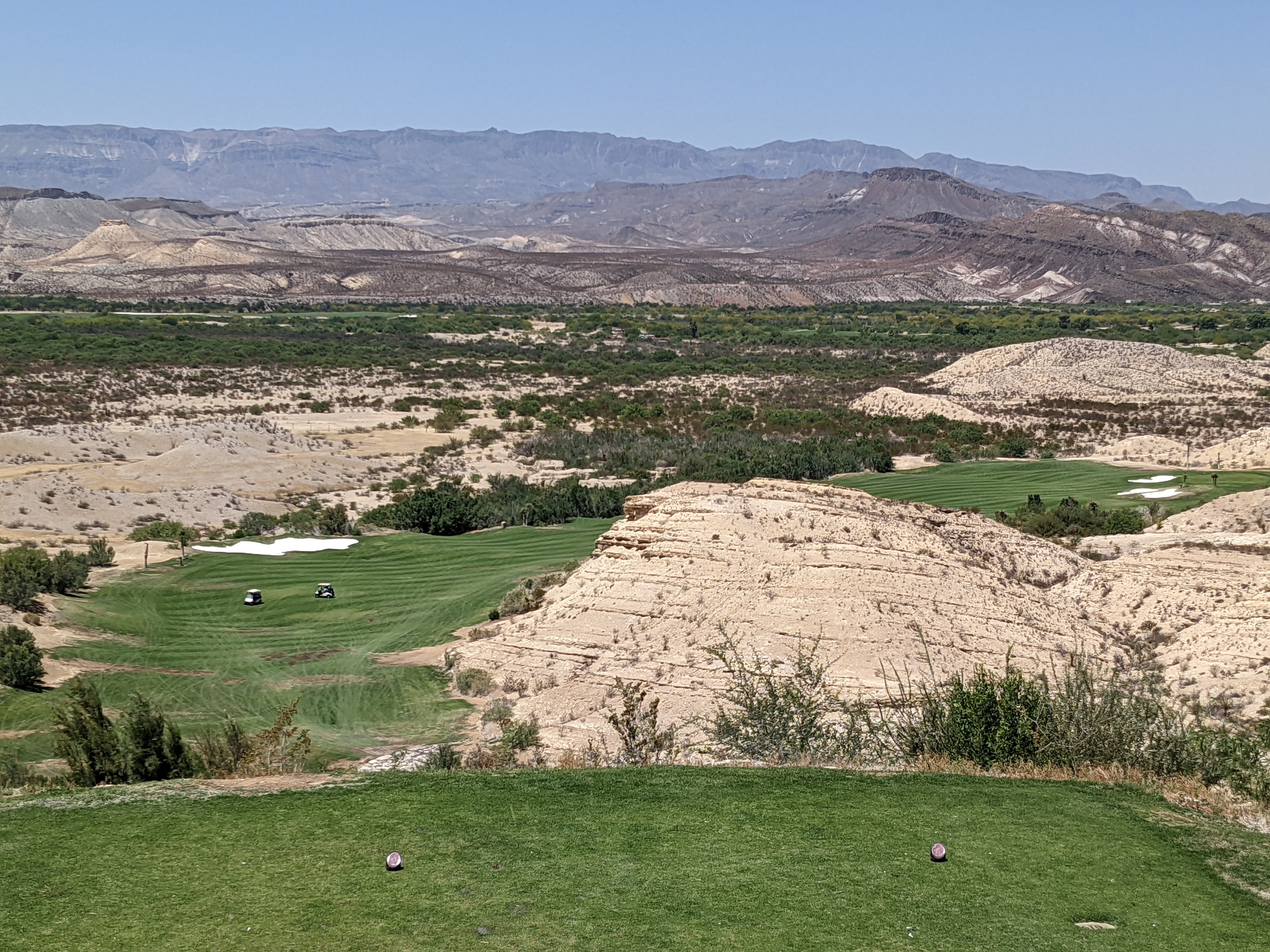
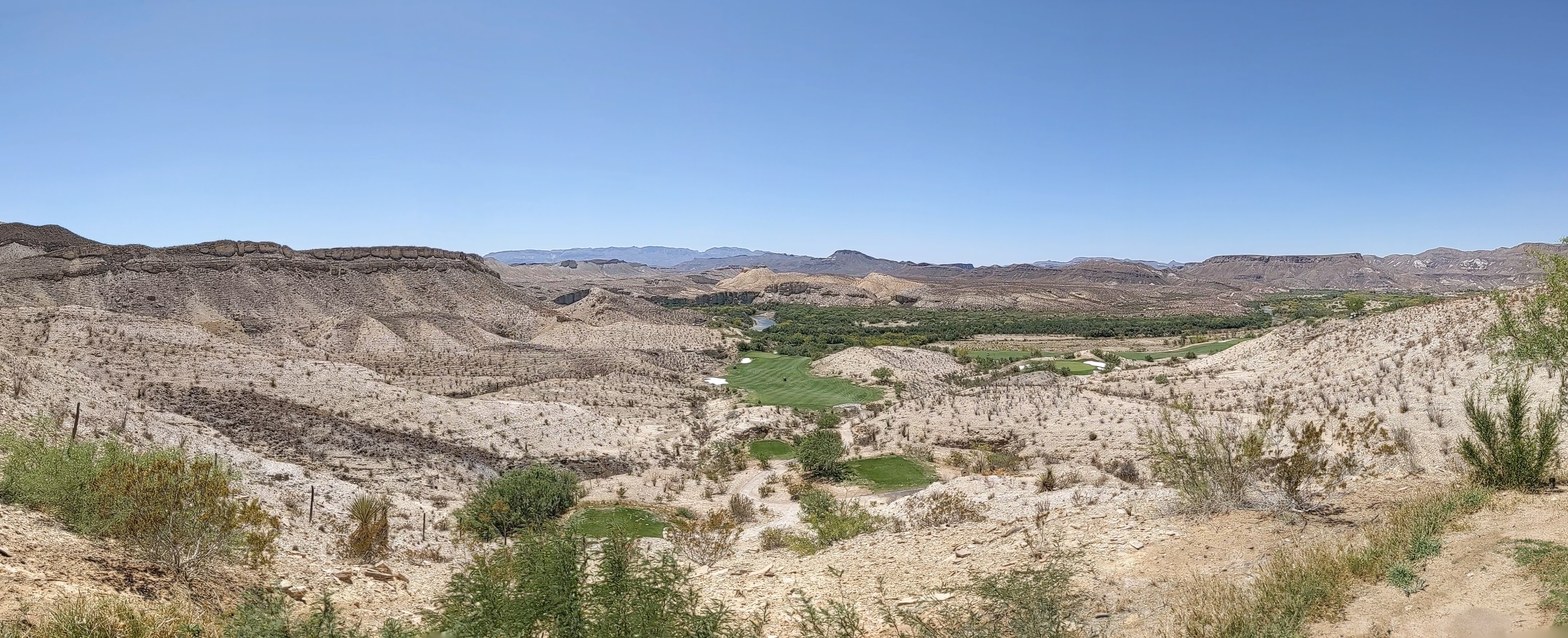
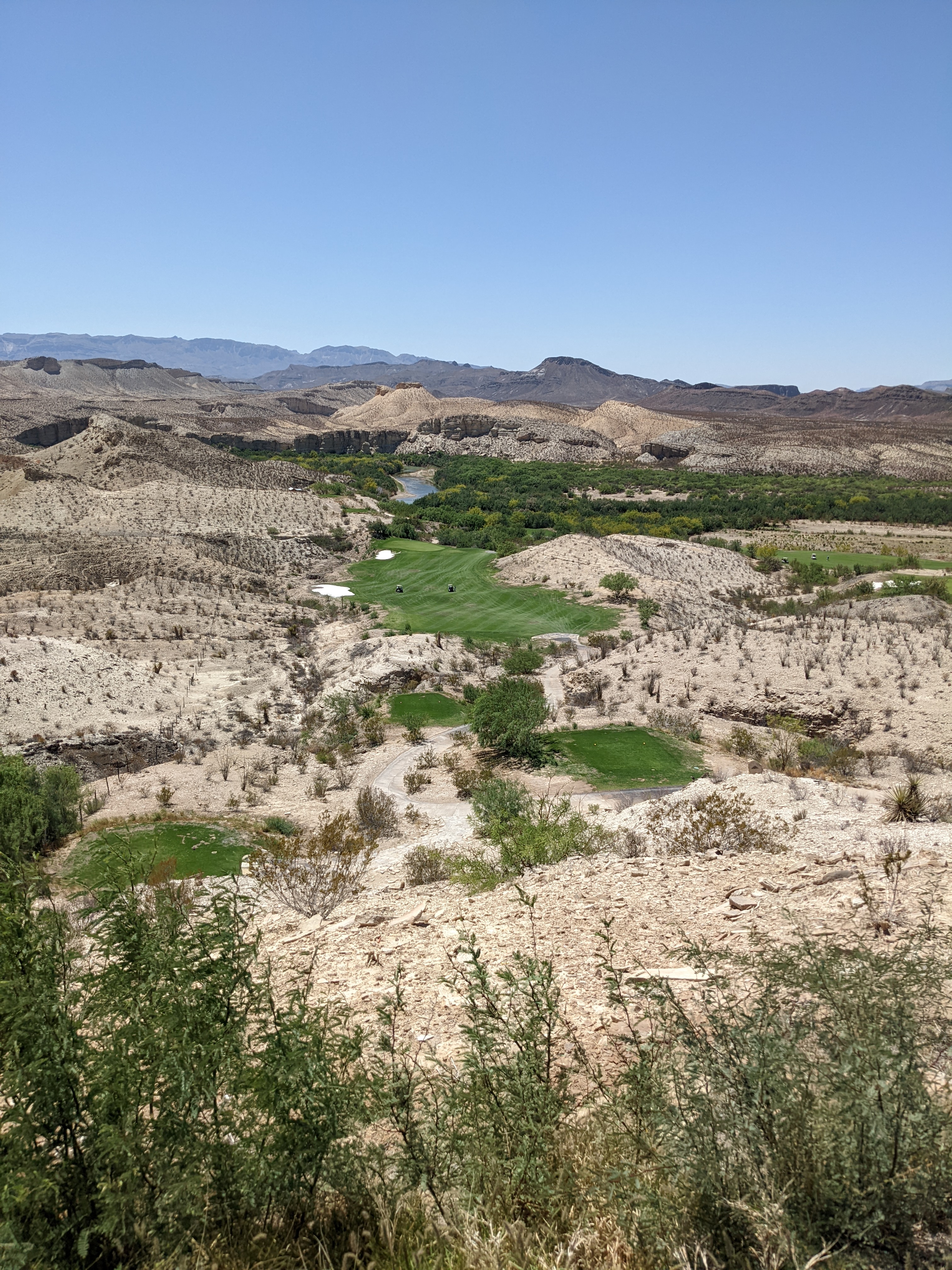
Matt was right. The views on the front nine were incredible. For any other golf course that would have been enough and every golfer would have been amazed, but this isn't just any golf course. We took Matt's advice and drove the treacherous cart paths up to the back tee boxes on every hole on the back nine. We're not sure there are words to fit the description of the views. Equal parts terrifying and awe inspiring is the best we can come up with for now. The pictures definitely don't do the course justice but we hope you like them just the same.
To start the terrifying tee boxes, Hole #13 was a severely downhill par 3 with the green sitting what seemed like several hundred feet below us. Ryan hit a tee shot and walked off saying his heart was racing and adrenaline was pumping like he had just been in a boxing match. #14 and #15 gave you views of the Rio Grande river and the border of Mexico. Several people told us you could hit a golf ball into Mexico from #15 tee box. We opted to save the golf ball but the views definitely could not be beat.
After 18 holes, we decided to split up and conquer our own individual passions. One of us stayed on the golf course and played another 18 holes 🏌🏼♂️ while the other went back to the room and worked on this website. We imagine you can guess who did what. 💁♀️
For you golfers out there... Ryan shot 84 twice in a row. Just finishing 36 holes in one day in the desert with temps hovering around 100 is a feat. The second time around the front nine he shot 38 with a birdie and a double bogey. Pretty amazing stuff.
We had such an incredible day with views that we may never see again on a golf course that might be one of the best on the planet as far as we're concerned. We both loaded up on the aloe and lotion after a long day in the sun. Next up... a day back in Big Bend National Park! ✌🏼
Both of us woke up very sore, tired, and sunburnt from the previous day so we decided to lounge around the room longer than we had originally planned this morning. We worked on the website and sorted through hundreds of pictures in hopes of finding some of the best to actually publish here. Both the website build and the picture sorting are going to be much more massive projects than we had in mind to start but we're committed at this point!
We left for Big Bend around 1:30pm while the temperature gauge on the Rav4 fluctuated between 99 and 103 along the way. Yep, we're definitely in the desert. 🌵
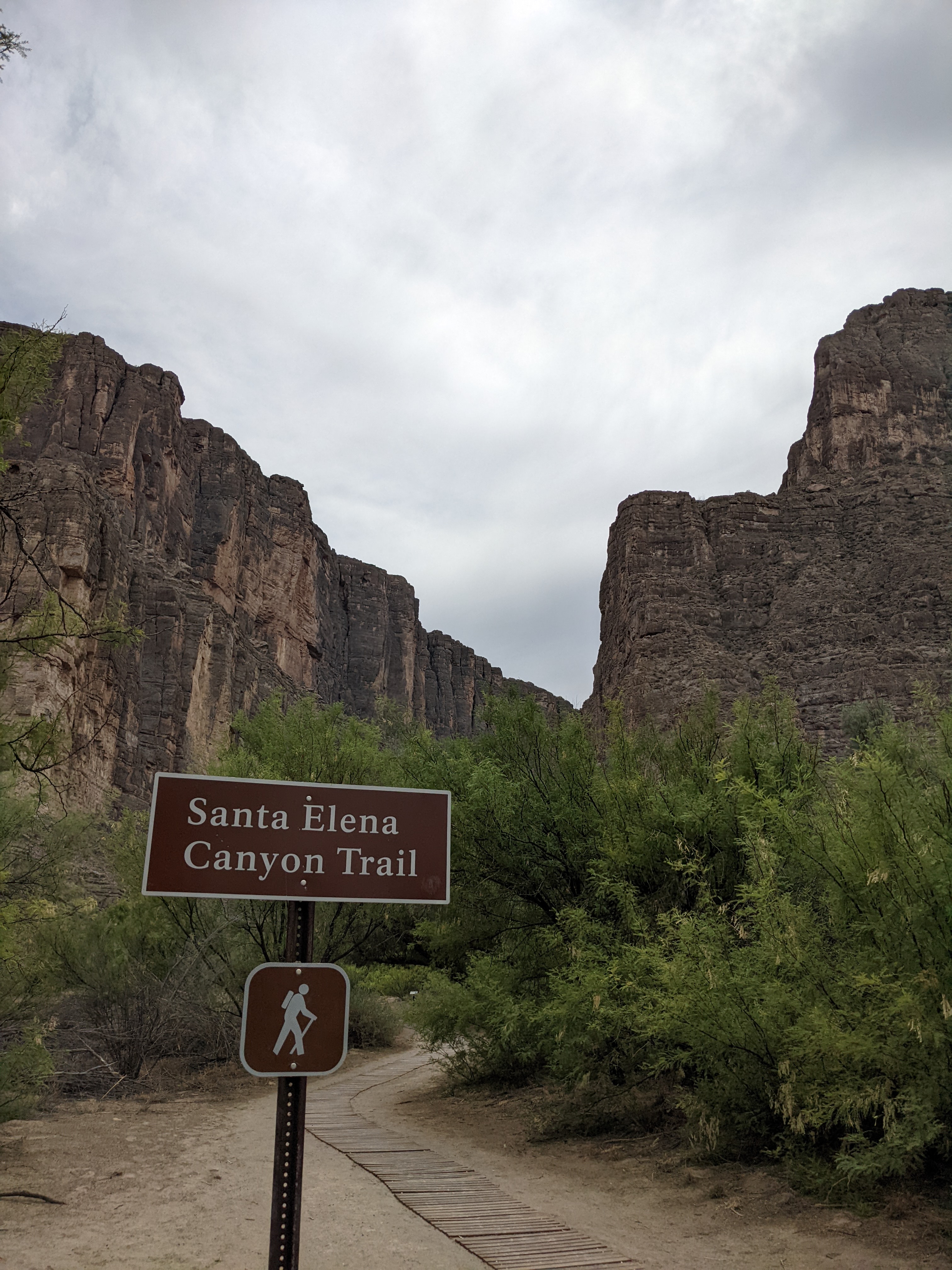
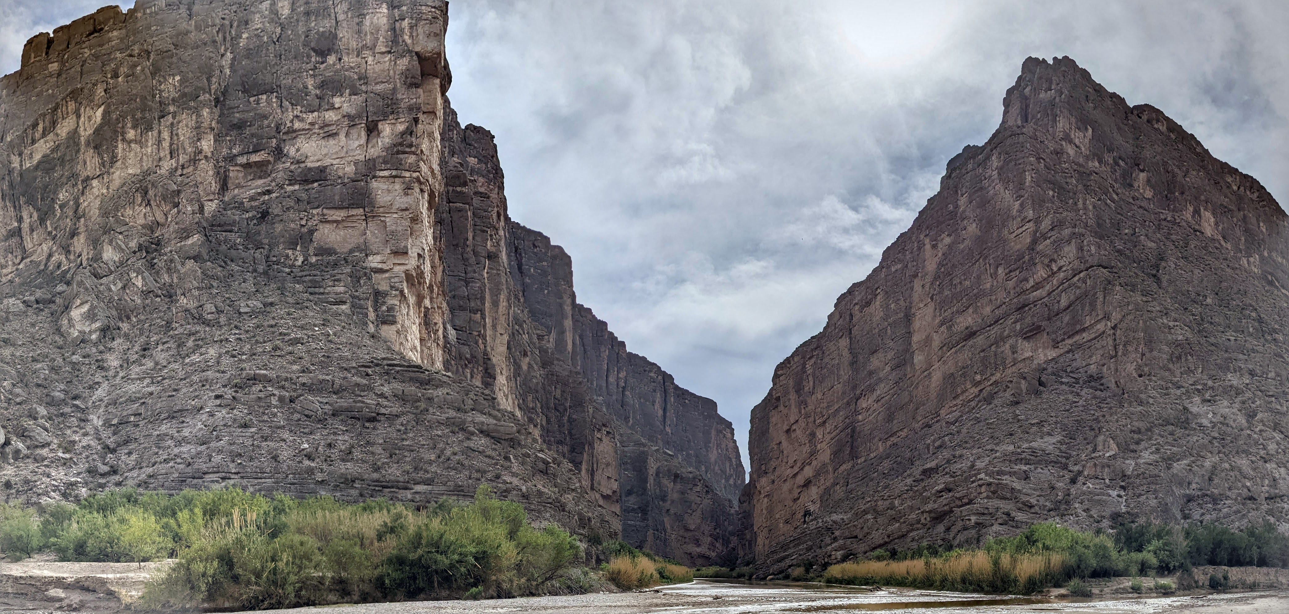
Driving through Big Bend National Park is such a spectacular experience! We entered the west side of the park this time and decided to immediately turn onto the very popular Ross Maxwell Scenic Drive. We took the drive the full 24 miles down to the Santa Elena Canyon. Both the drive and the canyon are traditionally immersive Big Bend experiences.
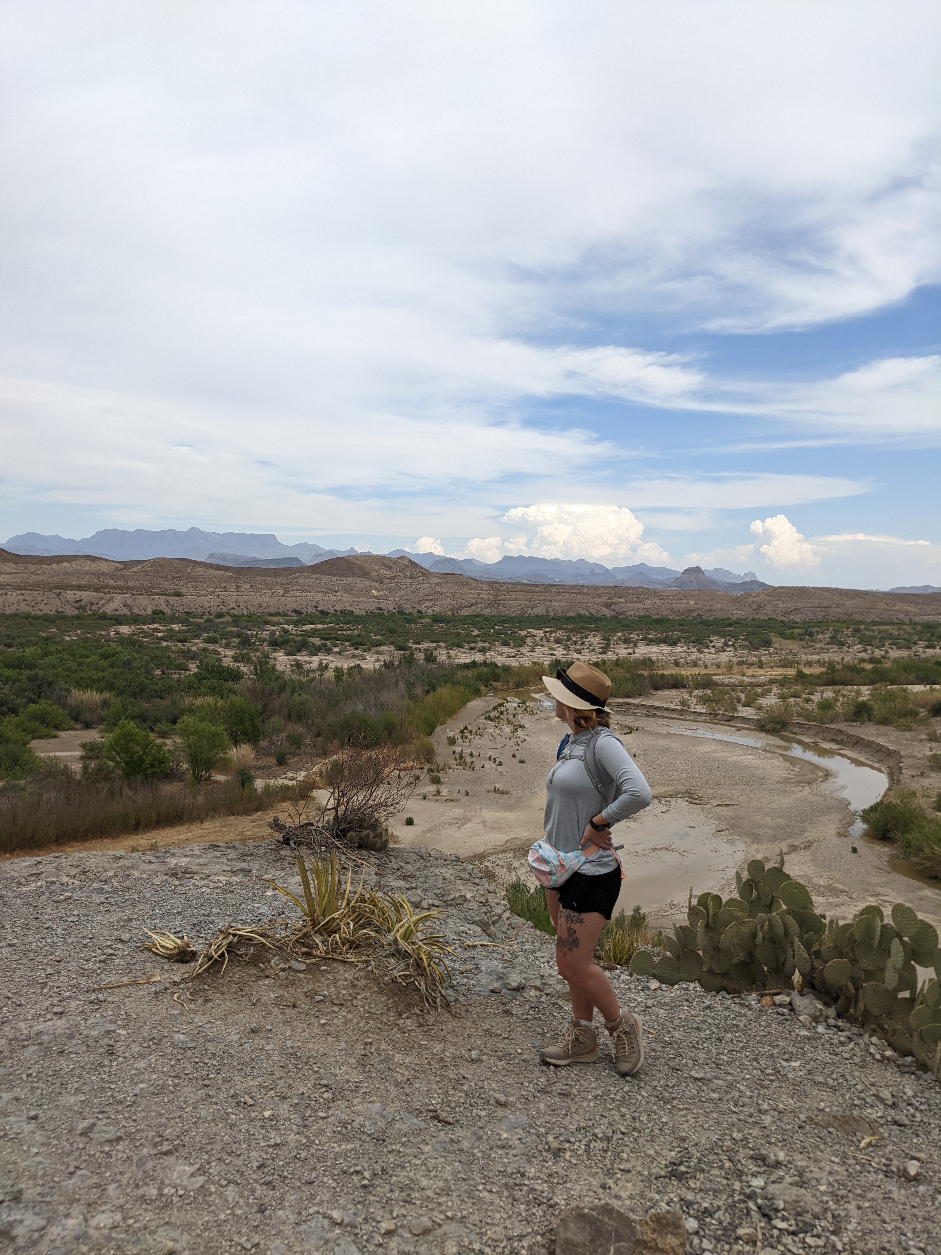
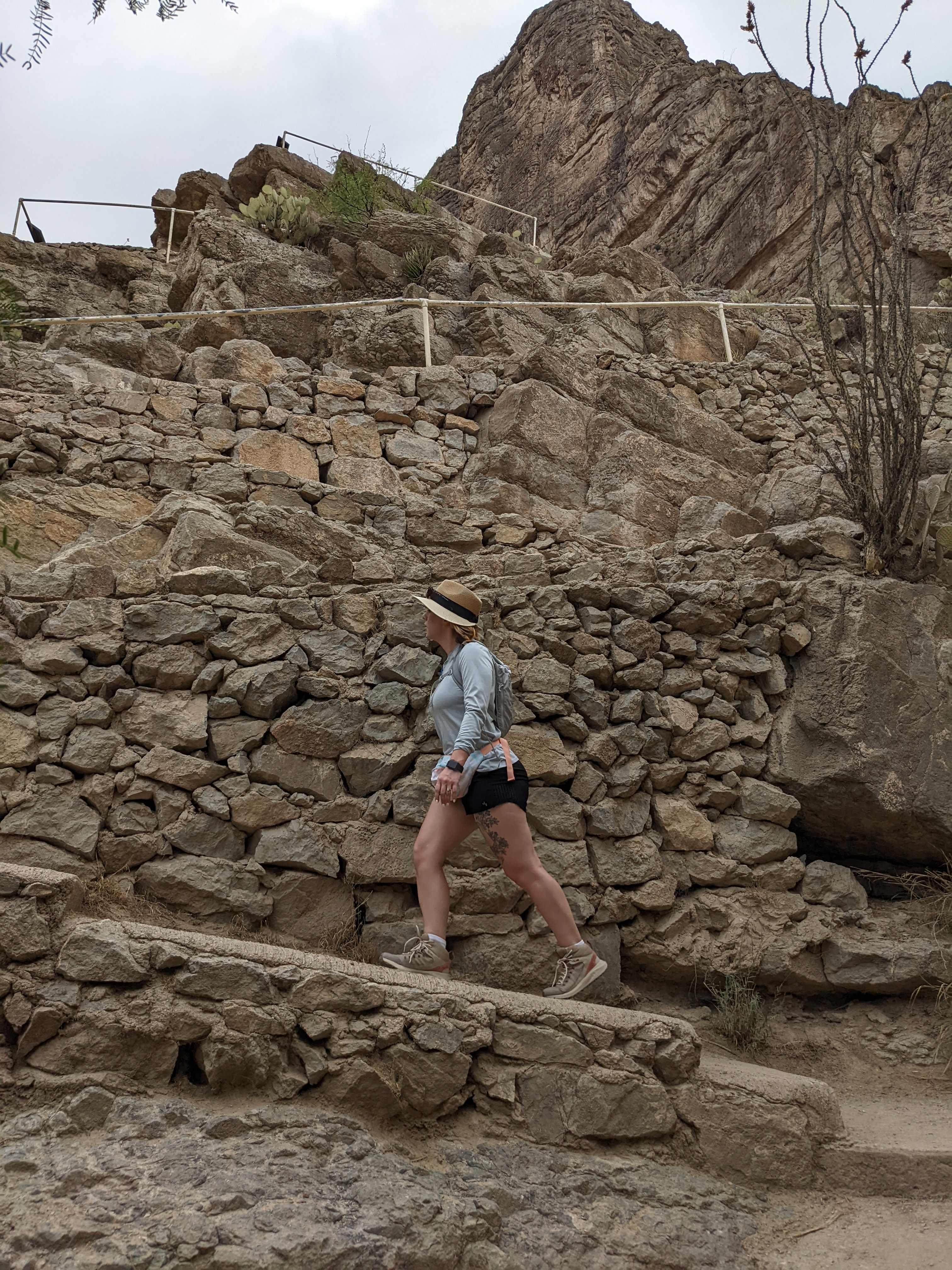
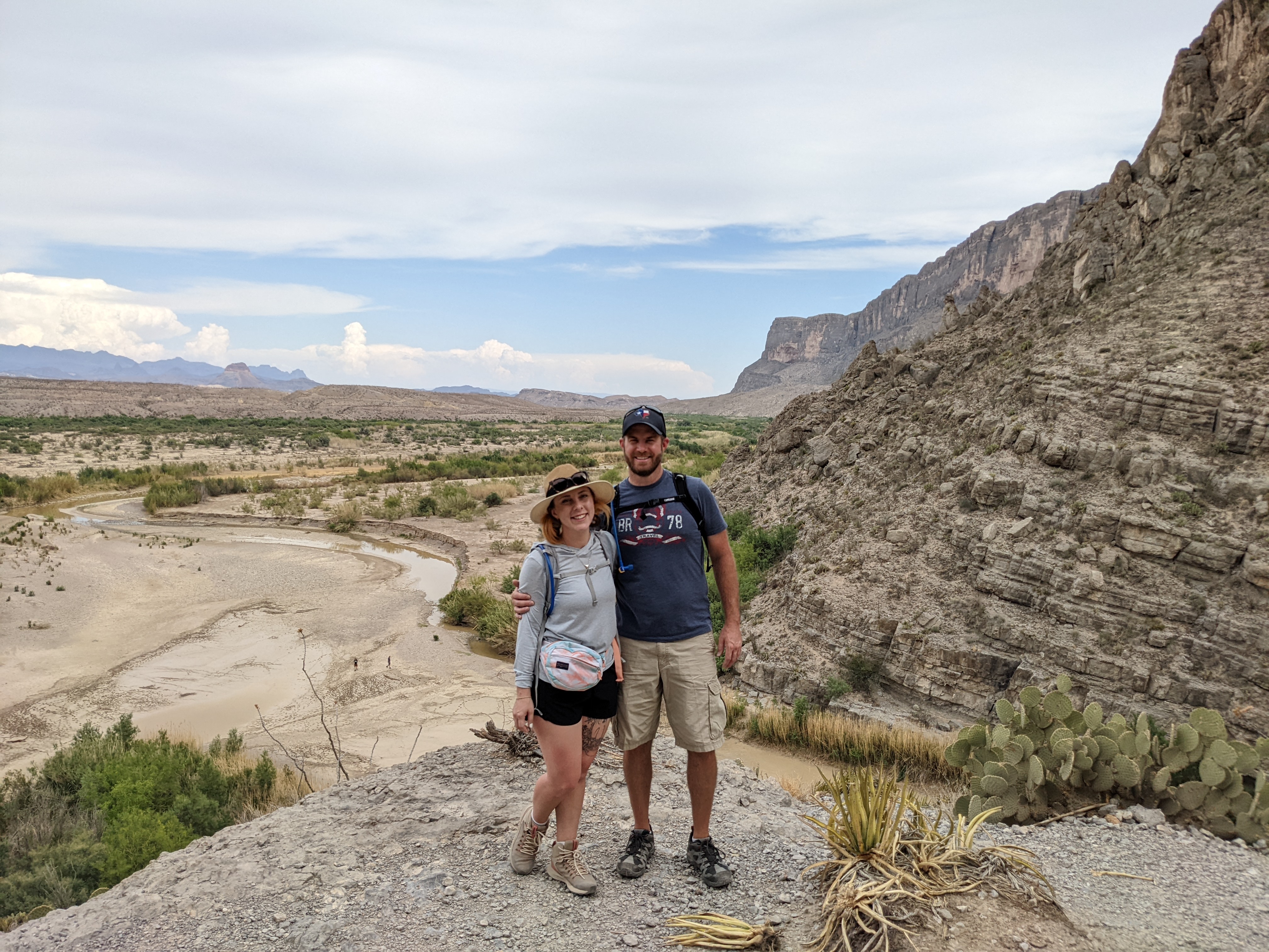
The Ross Maxwell Scenic Drive is equal parts terrifying and jaw dropping. The Santa Elena Canyon Trail is a bit of both as well and definitely our favorite hike on the trip to date. There will be lots of pictures of Santa Elena Canyon, the trail, and a couple of us on a cliffside overlooking the Rio Grande river in the gallery!
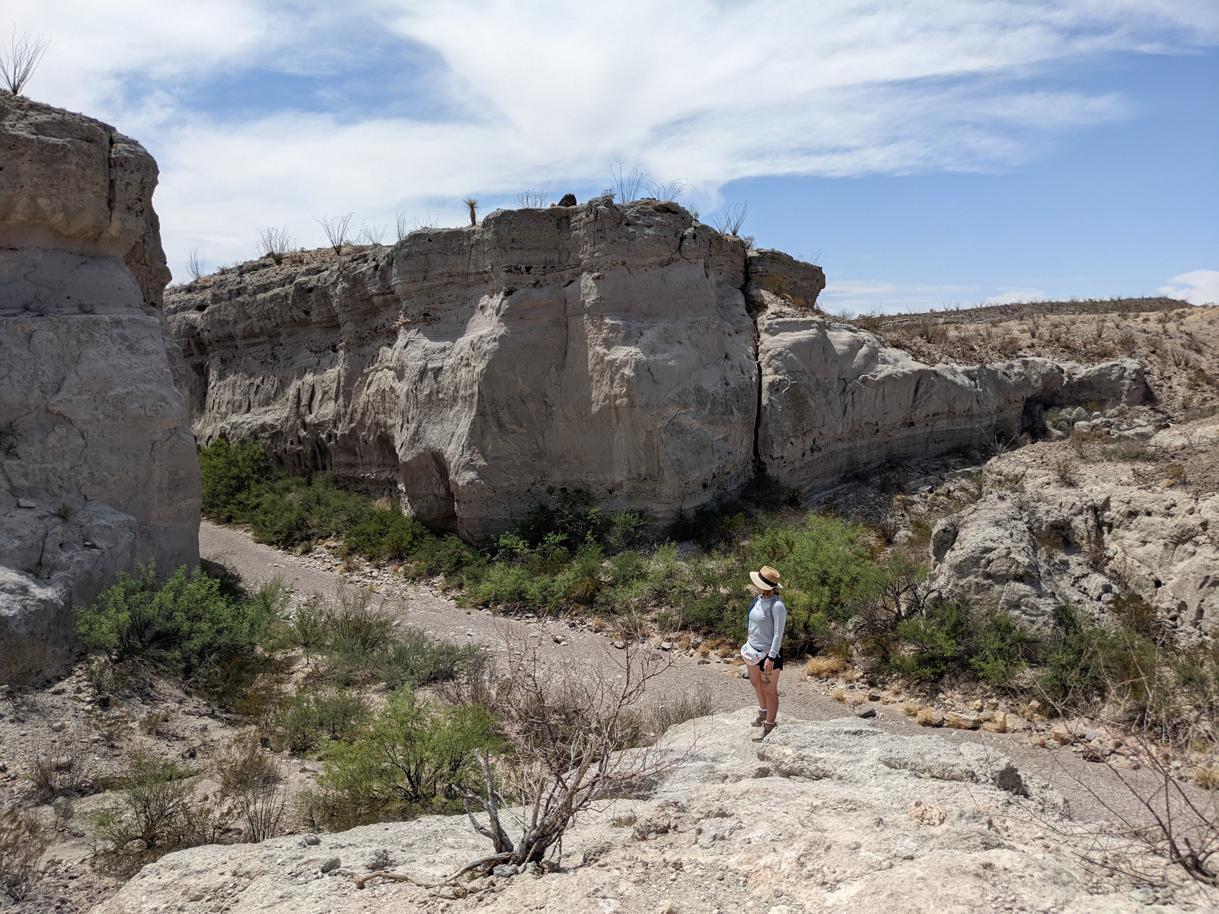
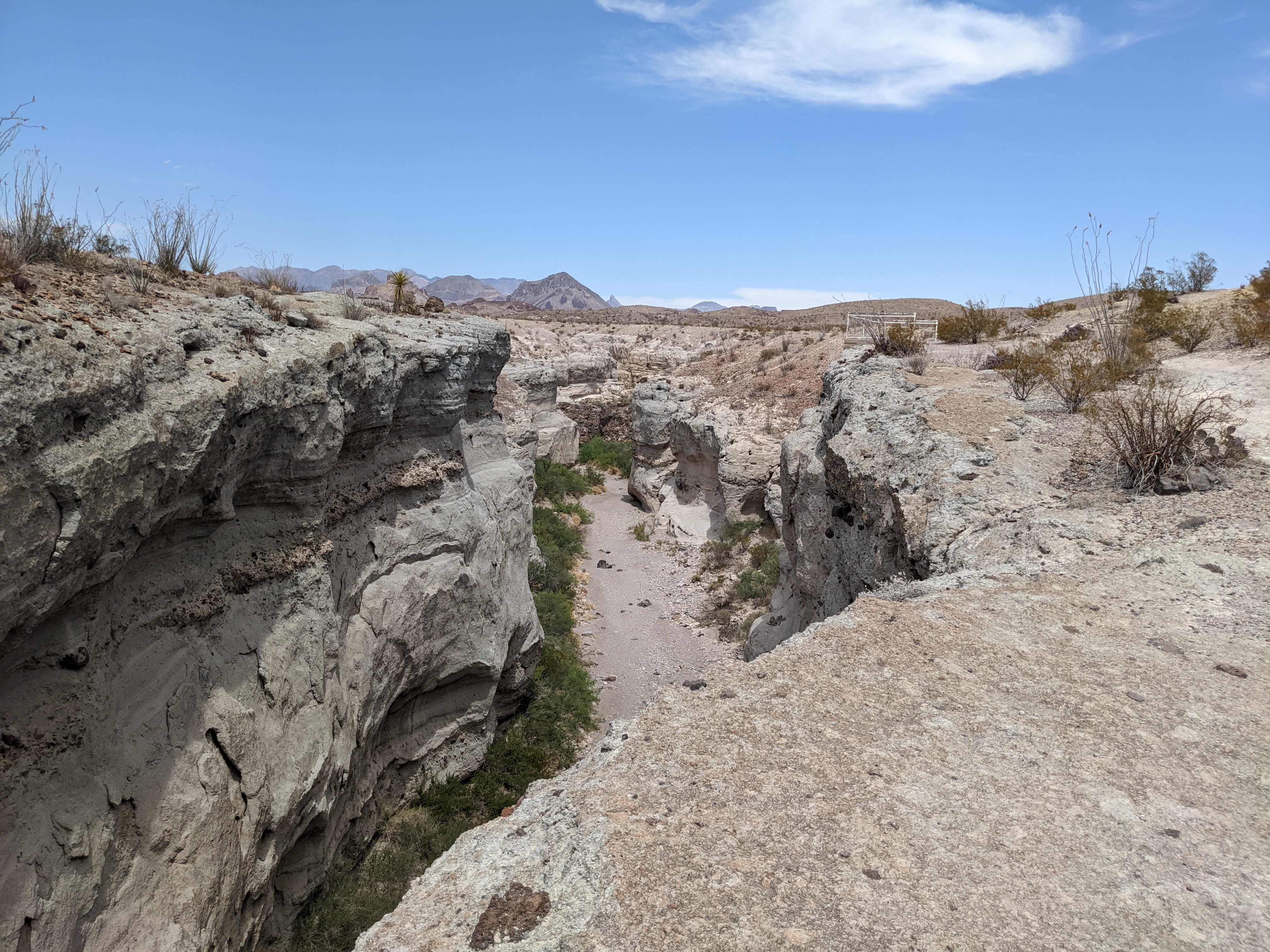
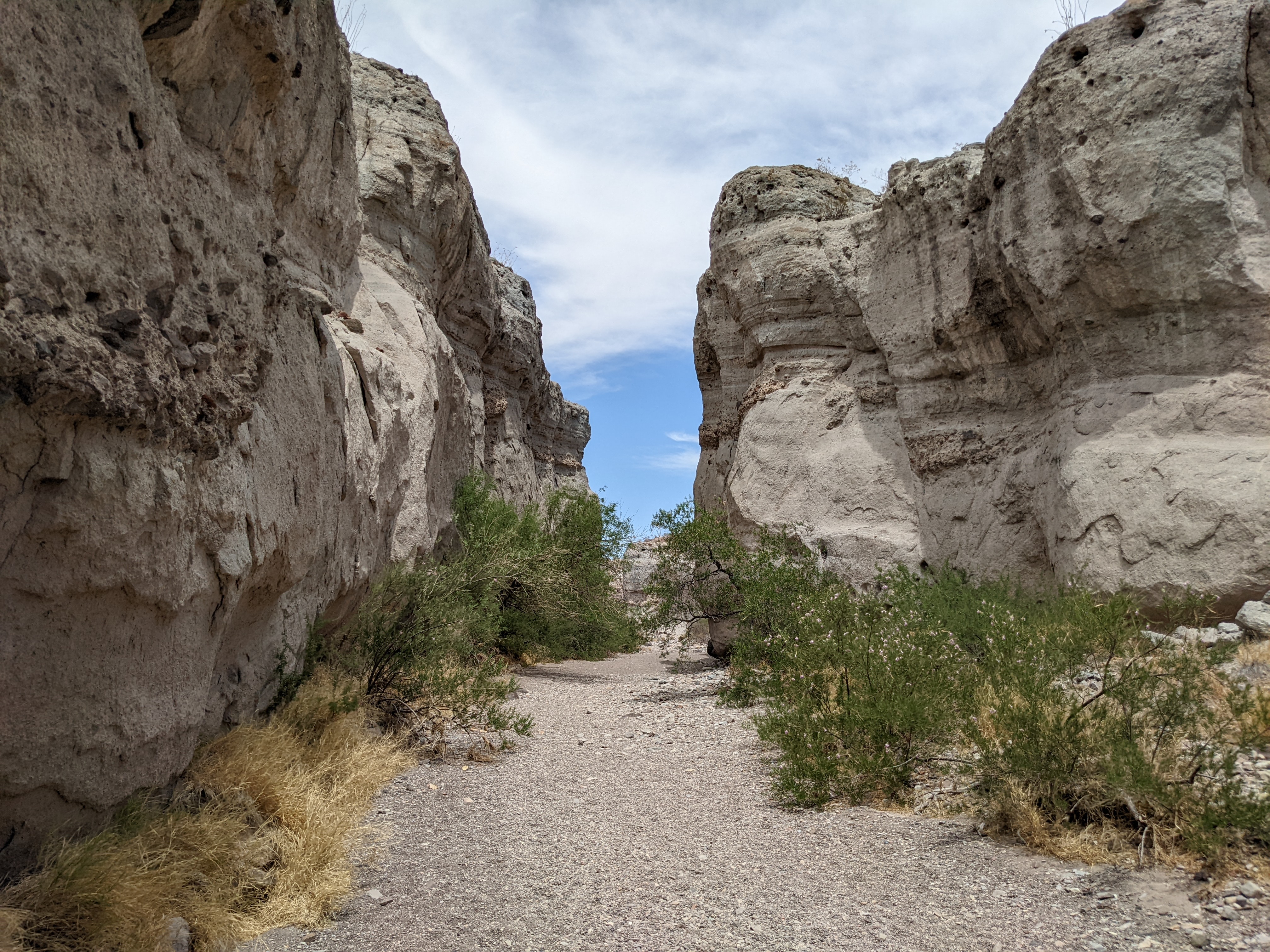
Before we got all the way to Santa Elena Canyon, we stopped off to do a short hike at Tuff Canyon. We put our brave pants on and hiked down a narrow cliff trail (that we found out later wasn't actually the trail) to the edge of the cliff overlooking the canyon. This was an exhilarating experience to say the least! We then hiked down the ACTUAL trail into the canyon and back out. It was a great way to get the blood flowing for the rest of the day.
Before we left the park for the day we tried to fit in one last hike at the Upper Burro Mesa Pouroff Trail. First, we were both exhausted and cramping. Second, we weren't *really* aware there would be bouldering involved. Third, we were definitely not aware that we would be slogging through another sand/gravel canyon for over a mile one way. Finally, if we didn't make it back to the resort by 8:30pm at the latest we wouldn't get to eat dinner that night (more on that in the Lajitas Golf Resort Restaurant review...). So, we decided to turn around about halfway through the hike and really had to push ourselves to get back up the canyon to the car. Our legs were cramping so bad the whole way out that we weren't sure we were going to make it. We also lost the trail for a split second and got to feel the dread of being "lost in the wilderness." Luckily it was an actual second and we found the trail again. No harm done.
We did happen to make it back to the resort in time for dinner. Some fajitas and chicken fried steak helped ease the pain in our bodies and replenish all the calories we burned that day (and more). It was going to be easy to sleep this evening and we're excited to head up to Carlsbad in the morning! 👫
No details yet. Coming soon though <3
- Length: .75 miles
- Difficulty: Easy
- Elevation Gain: 200 feet
- Time to Complete: 1 hour
A short walk along the rim of Tuff Canyon leads to three viewing platforms. <br /> <br /> This short hike highlights some of the varied and interesting rock formations that can be found in Big Bend. Start off near the waypoint marked "Trailhead" and follow the path of the trail towards the southwest. Off in the distance sits Castellan Mountain, which dominates the sky in this part of the park. <br /> <br /> An exhibit at the east (right-hand) overlook explains how the sheer walls of the canyon were formed. The trail between the overlooks is rock and gravel, with some steps near the western viewing platforms.
- Length: 1.4 miles
- Difficulty: Easy
- Elevation Gain: 157 feet
- Time to Complete: 35 mins
This trail begins at the end of the Ross Maxwell Scenic Drive at a paved parkng area. Although a short trail, it is one of the grandest spectacles in the park. After crossing Terlingua Creek, the trail climbs several short switchbacks and then gradually descends along the banks of the Rio Grande. Hikers are surrounded by lush riparian vegetation and 1,500-foot towering vertical cliffs of solid limestone. The trail ends where canyon walls meet the river. Take a lunch and enjoy the scene. The average time to completion is 1 hour. <br /> <br /> Following rains, flash floods, or periods of high water, Terlingua creek can be impassable, effectively closing the trail.
- Length: 3.5 miles
- Difficulty: Moderate
- Elevation Gain: 459 feet
- Time to Complete: 1 hour 30 mins
Head out on this 3.5-mile out-and-back trail near Big Bend National Park, Texas. Generally considered a moderately challenging route, it takes an average of 1 h 30 min to complete. This trail is great for hiking, and it's unlikely you'll encounter many other people while exploring.
No details yet. Coming soon though <3
No details yet. Coming soon though <3
